Day trip

Baixo Miño

Cross into Portugal via Valença do Minho and return skirting the Atlantic through A Guarda, the Folón and Picón mills, Oia and Baiona. Border history, Galician-Portuguese heritage and outstanding seafood less than two hours from Santiago.

General map of the Baixo Miño route
General map of the itinerary

Estimated distance

≈ 307 km

Motorway to Portugal and return along the Atlantic coast between Valença, A Guarda, O Rosal, Oia and Baiona.

Recommended time

1 full day

Plan stops to walk around the fortresses, climb Monte Santa Tegra and enjoy fish or seafood by the harbour.

Highlights

  • Walled fortress of Valença do Minho
  • Santa Tegra hillfort and views over the Miño
  • Folón and Picón mill trail
  • Santa María de Oia monastery facing the sea
  • Historic quarter and bay of Baiona

Before you reach A Guarda

Weather forecast

Data · Open-Meteo

Check the forecast for A Guarda before heading up Monte Santa Tegra or following the coast. Open-Meteo provides a three-day outlook covering temperature, peak wind and rainfall risk.

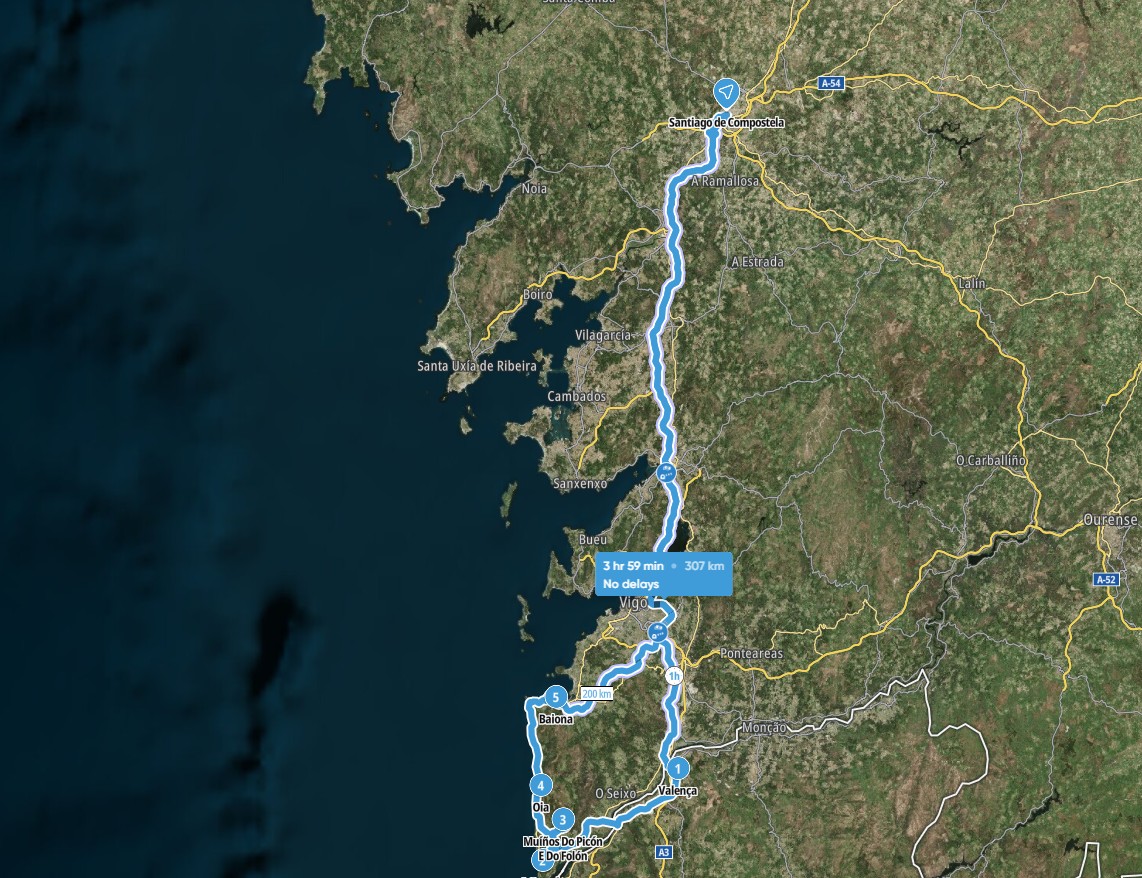
Santiago - Valença do Minho

SANTIAGO – VALENÇA DO MINHO (PORTUGAL) · 115 KM

Border

Valença do Minho is the first Portuguese town after crossing the international bridge over the Miño from Tui. The lower part is modern, but on top of the promontory stands a 17th-century walled citadel with four gates and twelve bastions.

The entrances are narrow and controlled by traffic lights. Drive up and park outside the enclosure, where you will find paid parking and free areas. Inside awaits a network of cobbled streets, churches, squares and stately homes in perfect condition.

The fortress is famous for its textile and homeware shops, hugely popular with Galician shoppers: bed linen, towels, duvets, rugs and clothing, as well as antiques and perfumeries.

A Guarda - Muíños do Folón e do Picón

A GUARDA – MUÍÑOS DO FOLÓN E DO PICÓN · 8 KM

O Rosal

Just 3 kilometres from the centre of O Rosal you will find the Muíños do Folón e do Picón, a cascade of more than 60 mills listed as a Site of Tourist Interest. They bridge a 200-metre drop and some are more than 300 years old.

Mill number 16, built in 1715, is the oldest surviving example. The trail reveals the agricultural effort of the parishes and delivers sweeping views over the valley and the vineyards that supply the Rosal sub-zone of the Rías Baixas D.O.

Muíños do Folón - Oia

MUÍÑOS DO FOLÓN E DO PICÓN – OIA · 13 KM

Oia Coast

Construction of the Santa María de Oia monastery began in the mid-12th century under Alfonso VII and it joined the Cistercian Order in 1185. Successive works up to the 18th century blended Romanesque, Gothic and Baroque elements.

Set right on the shoreline, it played a key defensive role. In 1624 the monks repelled an attack by the Turkish fleet and Philip IV granted it the title of “Royal”. After the 19th-century disentailment the complex became private property, though the church still serves as a parish.

Oia - Baiona

OIA – BAIONA · 18 KM

Rías Baixas

Baiona, a seafaring town sheltered by a bay, enjoys mild temperatures all year. Its old quarter is a listed Historic-Artistic Site filled with manor houses, arcades and cobbled streets.

On 1 March 1493 the caravel Pinta docked here with news of the discovery of America. A full-scale replica was built for the fifth centenary and remains moored at the quay.

Stroll along the seafront promenade, relax on the urban beaches and take in the views from the Monterreal fortress, now a Parador hotel.

END OF TODAY'S ROUTE; 114 KM TO SANTIAGO VIA MOTORWAY.

Download the route and plan your day

Print this itinerary or save it to your phone for the trip. Need extra suggestions? Just give us a call.

Request the route PDF